Satellite Precision
Storm Intelligence
Real Results
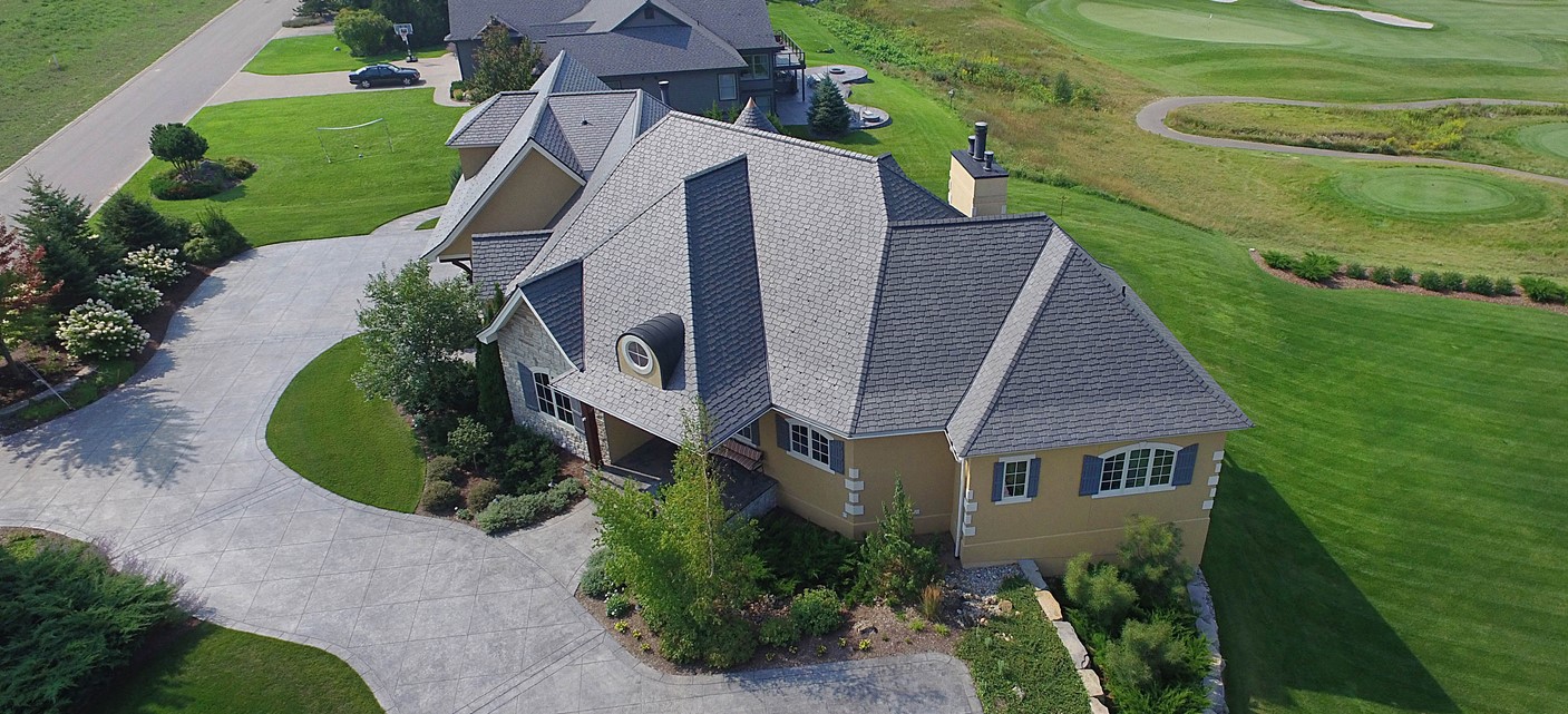
The most accurate roof measurement and take off application. Designed by a roofing expert & satellite imaging/mapping expert, DronNav utilizes real-time satellite imagery, drone technology, 4k photos/video footage, and online software tools customized specifically for the commercial roofing industry. Whether you're a contractor reviewing jobsite photos when bidding a re-roof project, or an insurance claims adjuster needing roof measurements in order to write up a scope of work, or a realtor looking to showcase new property listings with custom 4k imagery & 3D aerial drone footage, DronNav is the permanent solution for you!
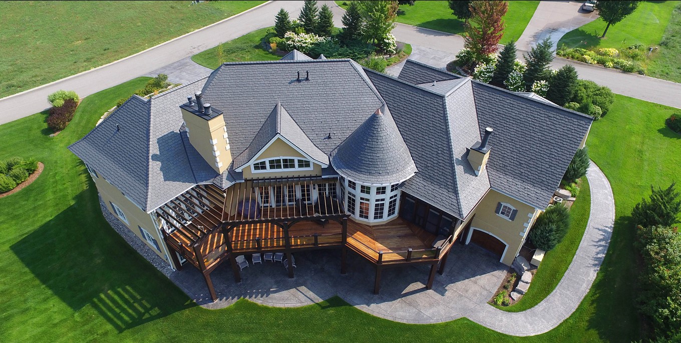
Accurate Roof Measurements
Precise satellite & drone-based measurement for any roof.
Damage Assessment
Identify hail, wind, and structural damage quickly.
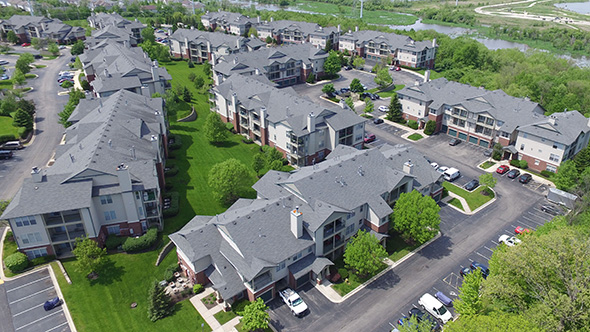
High-Resolution Imagery
4K aerial photos for inspections, reports, and presentations.
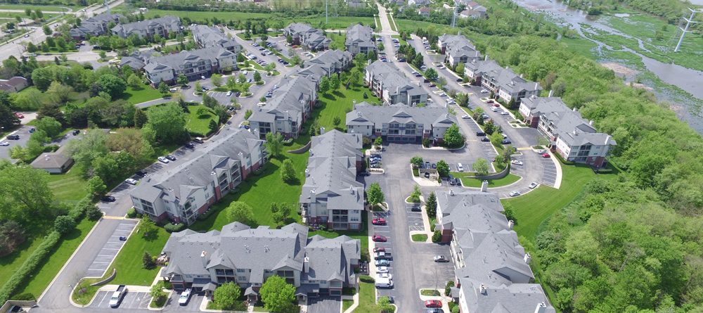
Comprehensive Roof Analysis
End-to-end inspection backed by advanced visualization.